
Interstate 10 Is El Paso's Spine: A Driver's Map of the Corridor and the Crossings
I-10 ties El Paso together from the New Mexico line to the county's east side — and connects to the bridges, the airport, and Loop 375 along the way.
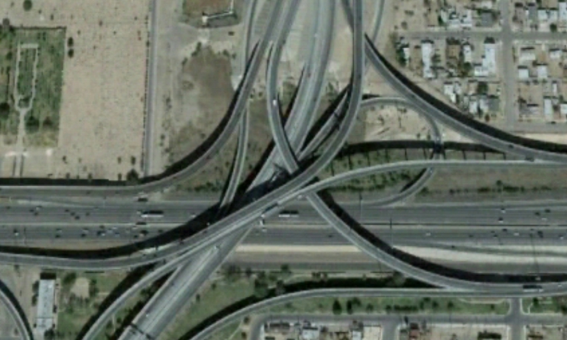
Interstate 10 is not just El Paso's main highway; it is the city's spine. The freeway enters from New Mexico near Anthony, crosses the entire city from west to east, passes downtown and the border crossings, and continues across West Texas toward San Antonio. Nearly every major cross-street in El Paso — Mesa Street, Sunland Park Drive, Executive Center, Airway Boulevard, Zaragoza Road — is known to locals in part by its relationship to I-10.
The most distinctive stretch is the interchange where I-10 meets U.S. 54 near the Franklin Mountains, a stack of ramps locals navigate by habit and newcomers navigate by faith in their navigation apps. I-10 also meets Loop 375, the border and Transmountain route that loops traffic around the city and over the mountains to the Northeast side.
For cross-border drivers, the highway system and the international bridges form one connected trip. The Paso del Norte, Stanton Street, Zaragoza, and Bridge of the Americas crossings each feed into the city's street and freeway network, and wait times at those ports of entry are a daily service question in El Paso. The U.S. Customs and Border Protection publishes current bridge wait times online, and checking them before choosing a crossing is a routine habit for experienced cross-border travelers.
El Paso International Airport sits just off I-10 in the city's middle, which is why so much of the region's travel — by road and by air — passes through the same few miles of freeway. Freight follows the same logic: I-10 is one of the nation's great east–west truck corridors, and El Paso is one of its principal border gateways.
The evergreen guidance for I-10 drivers is familiar: expect the heaviest traffic near downtown and the U.S. 54 interchange at peak hours, check DriveTexas for construction and incidents before long trips, and check bridge wait times before committing to a crossing. On an ordinary day, the spine carries the city.